Herzliya
195 places
Herzliya
What each part of Herzliya is like for newcomers, with the shuls, schools, doctors and shops listed there.
195 places
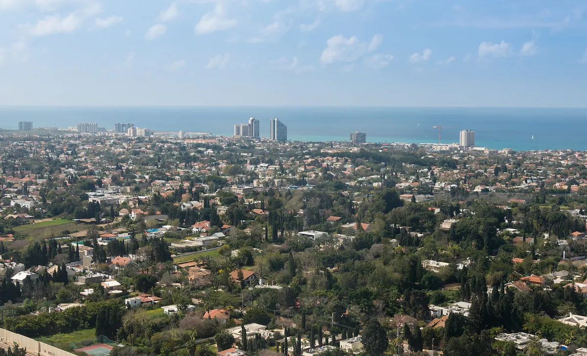
Villas and luxury flats between the sea and the coastal highway, with the marina, hotel strip and high-tech zone. Embassy residences; rents are among Israel's highest.
121 places
Photo: Lev.Tsimbler, via Wikimedia Commons (opens in a new tab) · CC BY-SA 4.0 (opens in a new tab)
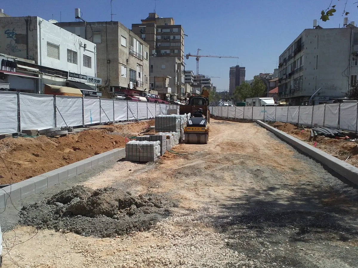
The old moshava core around Sokolov and Ben Gurion: shops, City Hall, the main library, the Great Synagogue and the most buses. Smaller, older flats.
49 places
Photo: דוד שי, via Wikimedia Commons (opens in a new tab) · CC BY-SA 3.0 (opens in a new tab)
Small western neighbourhood by Apollonia National Park and the Sidna Ali beach: older blocks and houses, some replaced by big new villas; four shuls and a community centre.
7 places
Between the coastal highway and the railway along Nordau St: older 2-4 storey buildings and villas, the Brandeis school, the Nordau pool and a library with English fiction.
5 places
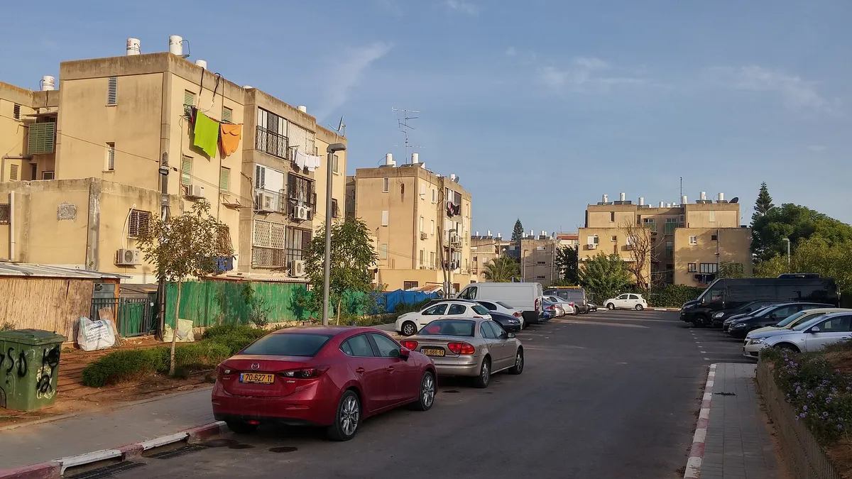
Eastern neighbourhood on the Ra'anana boundary, mostly late-1950s blocks with big urban-renewal plans; the Lia community centre and library (with Russian books). The lowest average rent in the sample.
4 places
Photo: דוד שי, via Wikimedia Commons (opens in a new tab) · CC BY-SA 4.0 (opens in a new tab)
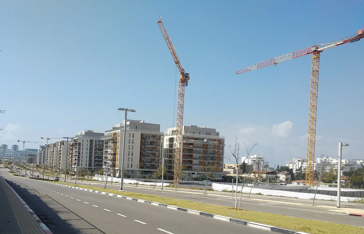
New high-rise neighbourhood north of Kibbutz Galil Yam, with the Shimon Peres education campus and a wide park along its south edge.
3 places
Photo: דוד שי, via Wikimedia Commons (opens in a new tab) · CC BY-SA 4.0 (opens in a new tab)
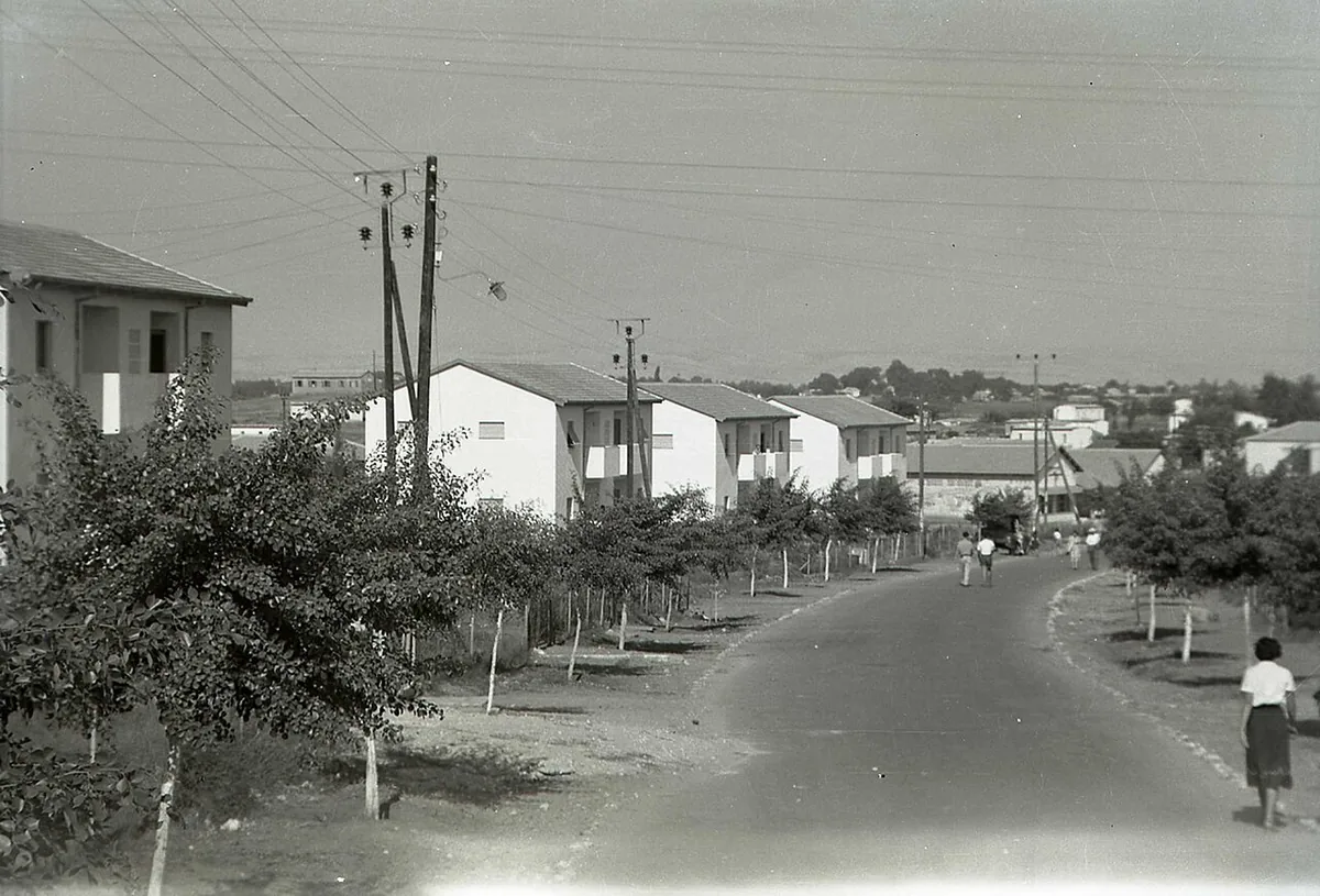
Eastern neighbourhood by the fields of Givat Hen, partly traditional-religious, with many shuls, the religious Rambam school and a women's mikveh.
3 places
Photo: נועה וירדן פריאל מד"ר לוסיל רוס (Beit HaRishonim archive), via Wikimedia Commons (opens in a new tab) · Public domain (opens in a new tab)
3 places
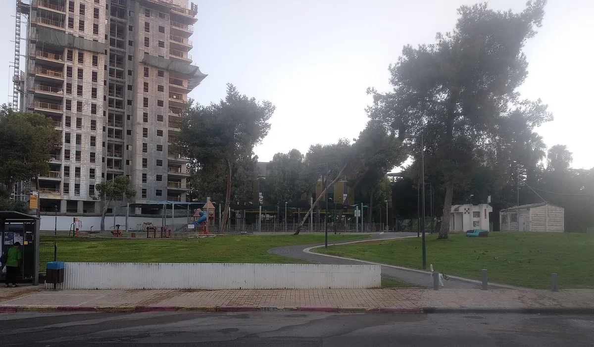
Southern neighbourhood of older houses and small flats, with a large pinui-binui project in its centre (2023-2026); the Nina centre and accessible library.
2 places
Photo: דוד שי, via Wikimedia Commons (opens in a new tab) · CC BY-SA 4.0 (opens in a new tab)
Herzliya's northernmost neighbourhood, about 2 km from the centre; the old ma'abara site was cleared in the 2000s for new housing. Tripolitan and Yemenite shuls.
0 places
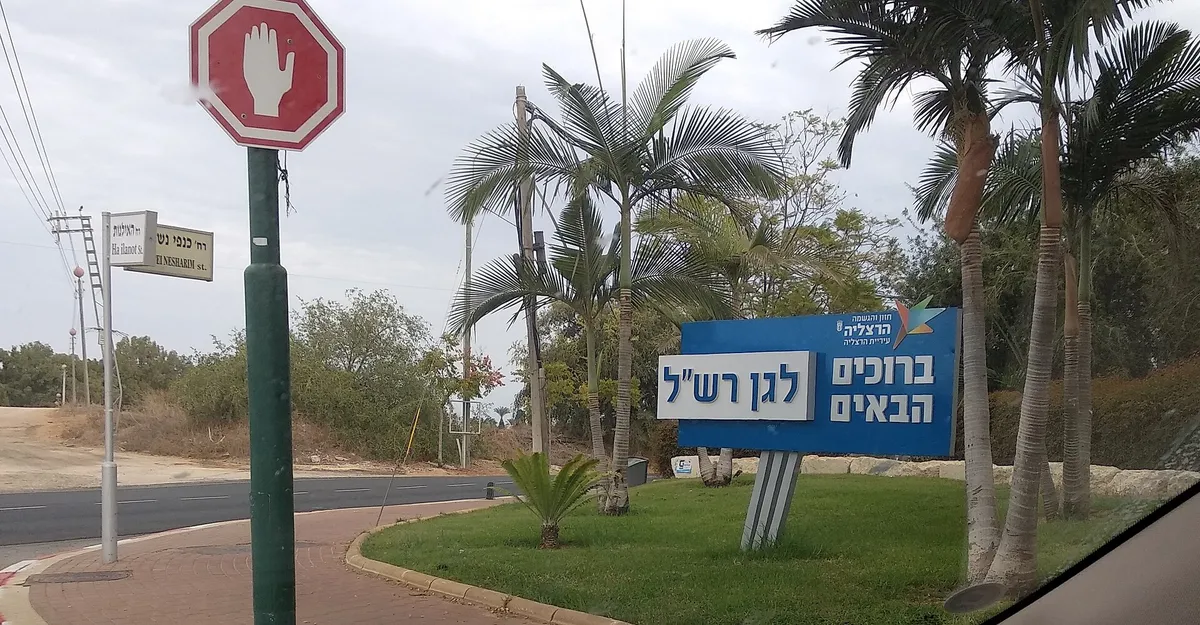
Northern neighbourhood from the 1950s: 1970s blocks (many upgraded under Tama 38) and older semi-detached houses, the Ilanot school and four shuls.
0 places
Photo: דוד שי, via Wikimedia Commons (opens in a new tab) · CC BY-SA 4.0 (opens in a new tab)
Southern neighbourhood on the Ramat HaSharon boundary with many cottages and villas, one of the city's sought-after areas; Zeev junior high.
0 places
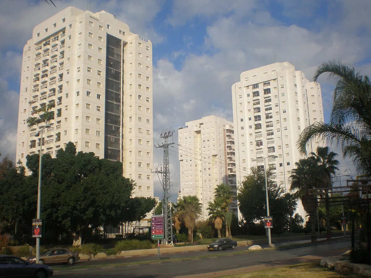
High-rise neighbourhood in south Herzliya, west of Ben Gurion St, with a members' sports centre and pool; the Tzameret towers are across the road.
0 places
Photo: User:David Shay, via Wikimedia Commons (opens in a new tab) · CC BY-SA 3.0 (opens in a new tab)
Built in the late 1950s; its buildings were demolished in 2026 for a pinui-binui project and high-rises are going up. A mixed population including newer olim from the former USSR.
0 places
Central-north area between HaBrigada HaYehudit and Yigal Alon, with the Yochanani and Brenner schools; rents range from about 8,300 NIS (east) to 15,900 NIS (west).
0 places
1 place
1 place